Elena Berger · 10 October 2026
Reifwald's Shifting Weather Patterns Reshape Local Farming Routines and Emergency Planning
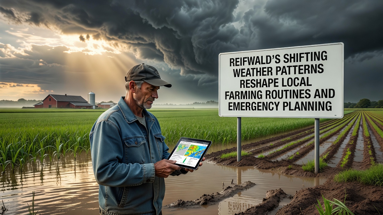
Weather records from Reifwald show consistent increases in average temperatures and irregular rainfall distribution over the past decade, with data from local monitoring stations indicating shifts that directly influence agricultural cycles and community preparedness measures. Farmers across the region have adjusted sowing dates for staple crops such as barley and potatoes, while emergency services update response protocols to address heightened risks of both flooding and prolonged dry spells.
Analysis of precipitation patterns reveals that spring rains now arrive later and with greater intensity in concentrated bursts, forcing growers to adopt new irrigation strategies and soil management techniques. Agricultural extension services report that traditional calendars no longer align with current conditions, prompting widespread adoption of drought-resistant varieties and cover cropping methods that help retain moisture during extended dry periods.
Adjustments in Agricultural Practices
Local farm cooperatives have documented changes in harvest timing, with grain collection occurring up to two weeks earlier in some years due to accelerated growing seasons driven by warmer spring temperatures. Equipment operators now schedule machinery maintenance around unpredictable autumn storms that can delay fieldwork for days at a time, while livestock managers install additional shade structures and water sources to protect animals during heat events that exceed historical norms.
Studies conducted by regional universities highlight how these adaptations extend beyond individual farms, as supply chains for seeds and fertilizers adjust delivery schedules to match revised planting windows. One cooperative in the eastern valley implemented shared weather monitoring networks that feed real-time data into decision support tools, allowing members to coordinate planting across multiple properties based on soil moisture readings rather than fixed calendar dates.
Emergency Planning Updates
Reifwald's emergency management teams have revised flood response maps after 2025 events demonstrated that older models underestimated runoff volumes from intense summer thunderstorms. Coordination between fire departments, agricultural associations, and municipal authorities now includes joint exercises focused on rapid deployment of temporary barriers and evacuation routes that account for saturated ground conditions common during October periods.
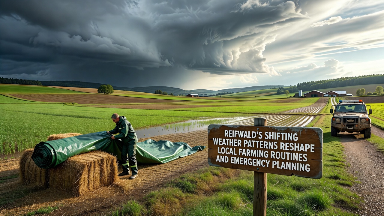
October 2026 brought early snowfall combined with above-average rainfall, testing these revised plans as crews managed both snow removal on higher elevations and drainage operations in lower fields simultaneously. Officials note that integrated communication systems linking farm sensors to central command centers enabled faster resource allocation during the mixed precipitation events.
Training programs for volunteer responders now incorporate modules on agricultural hazards such as chemical storage during floods and livestock movement during evacuations, reflecting the interconnected nature of rural emergency scenarios. Data compiled by the European Environment Agency indicates similar patterns across comparable temperate regions, where increased variability requires expanded contingency planning beyond traditional seasonal expectations.
Community-Wide Impacts and Monitoring
School curricula in Reifwald have incorporated local weather data into science classes, allowing students to track temperature and rainfall trends that affect both farming output and community safety measures. Residents participate in citizen science initiatives that supplement official stations with backyard gauges, creating denser datasets that improve forecast accuracy for the valley's microclimates.
Insurance providers serving the area have begun offering policies with flexible coverage periods tied to actual weather observations rather than fixed seasons, responding to claims data that shows losses occurring outside historical windows. This shift encourages proactive risk reduction among policyholders who receive premium adjustments for documented implementation of weather-resilient practices.
Researchers from Canadian institutions studying comparable mid-latitude valleys have shared methodologies with Reifwald officials, focusing on how integrated early-warning systems reduce response times during compound weather events. These collaborations emphasize data sharing across borders to refine predictive models that benefit multiple agricultural communities facing similar variability.
Conclusion
Reifwald continues to integrate updated climate observations into both farming operations and emergency frameworks, with ongoing monitoring providing the foundation for further refinements as patterns evolve. Local stakeholders maintain regular reviews of protocols to ensure alignment with the latest available information from weather services and agricultural research bodies.