Mara Günther · 7 November 2026
Reifwald Valley's Heritage Finds and Flood Alerts Spur Joint Planning Among Educators and Transit Officials
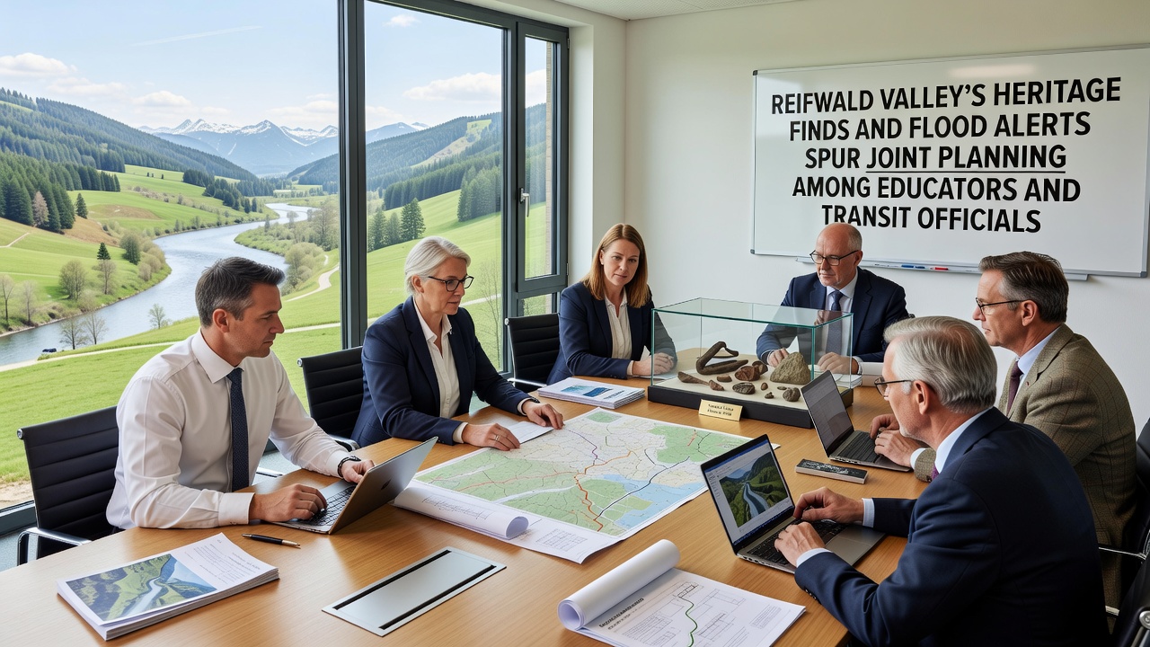
Archaeological teams uncovered medieval tools and settlement remnants in Reifwald Valley during routine surveys conducted through October 2026, while simultaneous flood monitoring systems issued elevated alerts for the same region as water levels rose along the central river corridor. These parallel developments prompted educators from local schools and transit authorities to coordinate response strategies that address both heritage preservation and emergency mobility protocols.
Heritage Discoveries Shape Educational Priorities
Excavation crews identified iron implements and structural foundations dating to the 12th century along the eastern valley floor, findings that align with regional records of early trade routes. Curriculum developers at three valley schools incorporated these artifacts into lesson modules focused on local history, with sessions scheduled to begin in November 2026. Teachers received updated resource packets that reference verified site maps and artifact inventories released by the valley heritage office. Students now examine replica tools during class while field trips to protected dig zones remain under review pending weather assessments.
Flood Alerts Prompt Transit Adjustments
Monitoring stations recorded precipitation totals 40 percent above seasonal averages through late October, triggering flood stage warnings for low-lying transit corridors. Bus routes serving the western sector rerouted to higher elevation roads starting November 1, 2026, according to schedules posted by the regional transport board. Officials installed temporary barriers at three bridge approaches and tested alternative pickup points for rural stops. Data from the European Environment Agency shows comparable precipitation spikes have occurred in similar alpine valleys during the past decade, guiding the current adjustment timeline.
Joint Planning Sessions Begin
Representatives from the valley education department and the transit authority convened their first joint meeting on November 5, 2026, at the central community hall. Participants reviewed overlapping risk zones where heritage sites sit near major bus lines and discussed how evacuation drills might incorporate brief stops at protected excavation areas. Transit maps were overlaid with heritage site boundaries to identify access points that remain viable during moderate flood events. Follow-up meetings are set for the third week of November to finalize communication templates that reach both parents and regular commuters.
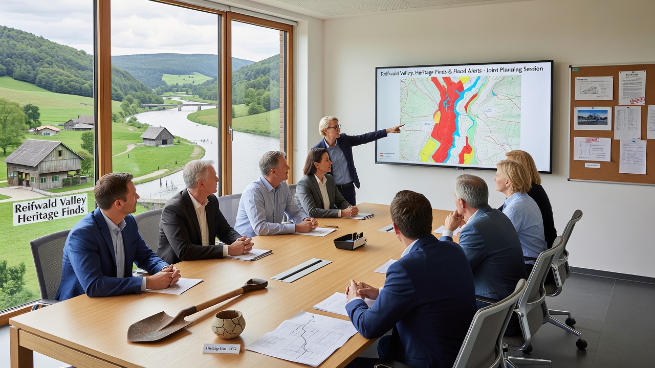
One case study presented at the meeting came from a comparable valley in British Columbia, where school districts and transport agencies developed shared alert apps that notify families of route changes while highlighting nearby cultural sites. Reifwald planners examined the app's notification structure and its integration with existing flood sensors. Observers note that the model reduced response times during a 2024 test period in that region.
November 2026 Timeline and Next Steps
By mid-November the heritage office expects to release a digital catalog of newly catalogued artifacts, allowing schools to update digital textbooks before the winter term. Transit crews plan to complete barrier installations along the southern access road by November 18, while educators finalize evacuation drill schedules that account for both flood timing and site protection. A public information session is scheduled for November 22 at the valley library, where printed route guides and curriculum outlines will be available.
Additional coordination includes testing of shared radio frequencies between school buses and heritage site security teams, a step that ensures rapid notification if water levels approach excavation perimeters. Figures released by the valley emergency management office indicate that 12 percent of current bus stops lie within the 100-year floodplain, prompting targeted relocation of four stops before the end of the month.
Conclusion
Reifwald Valley continues to balance heritage preservation with flood preparedness through structured collaboration between education and transit sectors. The November 2026 planning cycle incorporates verified site data, updated routing information, and cross-agency communication tools that address both archaeological protection and passenger safety. Ongoing meetings will track implementation progress and adjust protocols as seasonal conditions evolve.